File:Map CreysFolly.jpg
From Paragon Wiki Archive
Revision as of 03:39, 7 March 2015 by Blondeshell (Talk | contribs) (Blondeshell moved page File:Map CreysFolley.jpg to File:Map CreysFolly.jpg without leaving a redirect: proper spelling)

Size of this preview: 800 × 475 pixels. Other resolution: 320 × 190 pixels.
Original file (826 × 490 pixels, file size: 324 KB, MIME type: image/jpeg)
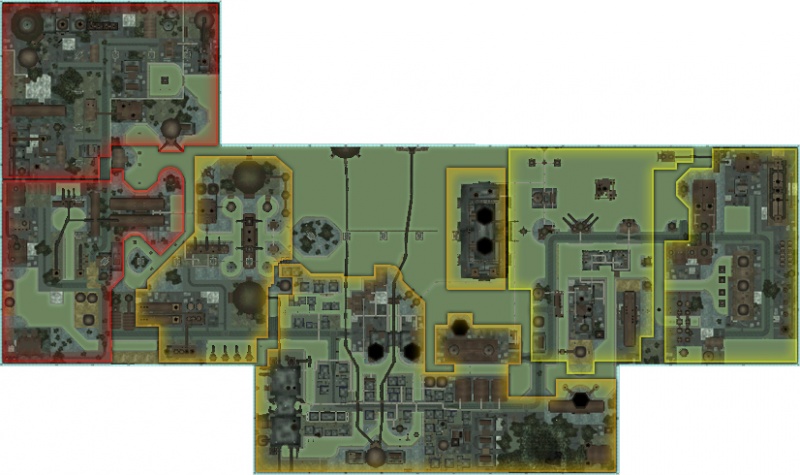
Map of Crey's Folly
File history
Click on a date/time to view the file as it appeared at that time.
| Date/Time | Thumbnail | Dimensions | User | Comment | |
|---|---|---|---|---|---|
| current | 01:30, 8 March 2015 | | 826 × 490 (324 KB) | Blondeshell (Talk | contribs) | higher quality version at original dimensions |
| 18:22, 20 February 2009 | 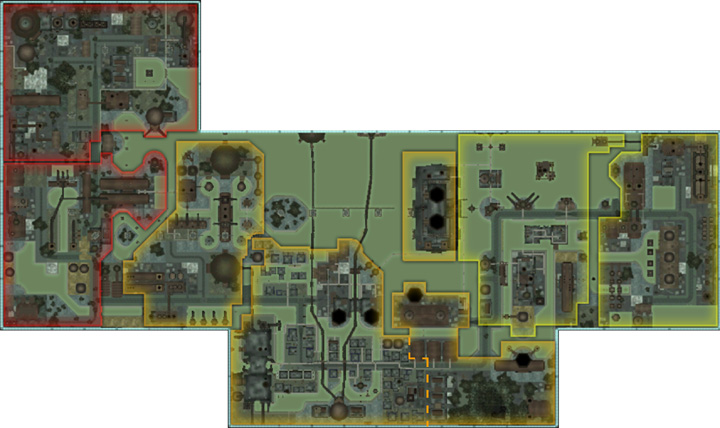 | 720 × 428 (106 KB) | Blondeshell (Talk | contribs) | updated map with neighborhood boundaries | |
| 19:30, 2 June 2007 |  | 500 × 296 (106 KB) | GuyPerfect (Talk | contribs) | Map of Crey's Folly Category:Maps |
- You cannot overwrite this file.
File usage
The following page links to this file: